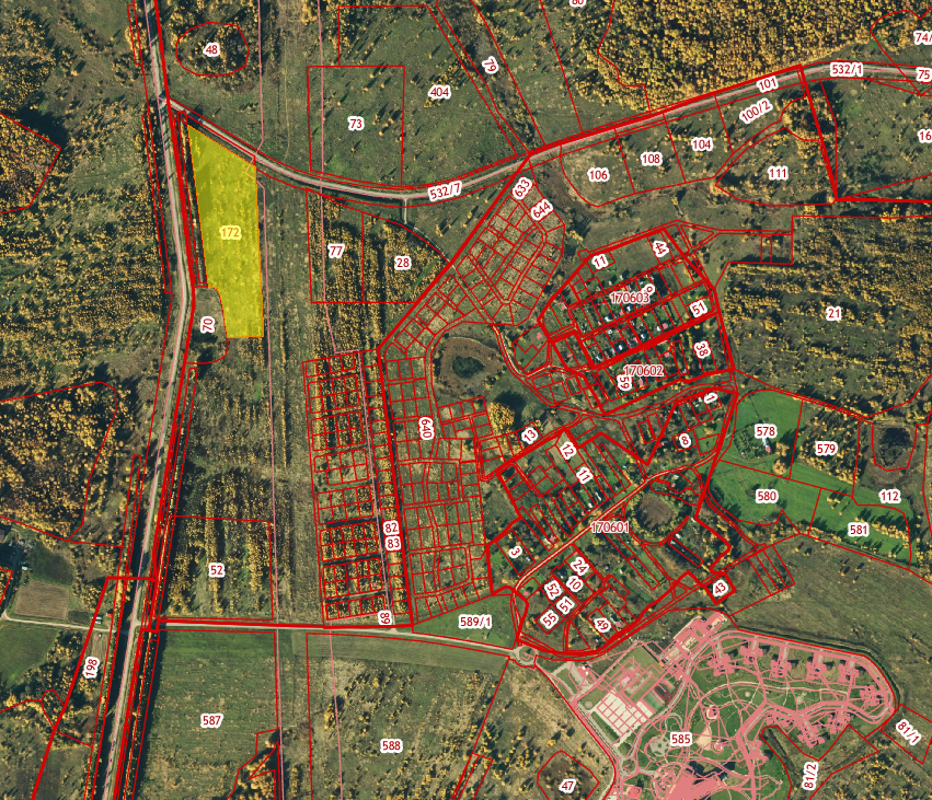
Land area 5.87 ha
General
Cadastral number ZU
76:11:061103:172
Total area
58700
Type of site
Greenfield
The format of the site
Land area
Land category
Agricultural Earth
Municipal formation
oh. Perslav
Form of ownership
municipality
Description
Type of permitted use
Diversion
Infrastructure
Infrastructure
Removing from the Pereslav-Zales administrative centre 8 km, distance from the nearest locality of Ivanisovo 750 m, distance from the highway type, is linked to the road to the " Roadway to the Zoloth ring " in the Perslav region of Jaroslav. 1 stage - from PC0+00 to PC23+00 length 2,306 m and from PC 54+00 to PC 78+57.60 length 2458 m. Jaroslav region, Pereslav district, near Ivanisovo, distance from the nearest fire depo, Pérezlavl Zalesski, 8 km
Water supply
No
Drainage
No
Gas supply Availability
No
Electricity Availability
No
Heat supply Availability
No
Export of MSW
No
Access roads
No
Railway availability
No
Availability of truck parking, yes/no
No
Contact the facility administrator
Contact person
Officer-in-Charge of the Municipal Property Directorate of the Pereslav-Zales-Bykov Tatiana Aleksandrovna City Administration
Contact person's phone number, e-mail
(48535) 3-26-07, ums@admpereslavl.ru
Website


